
Quoc Nguyen, Hai Nguyen, Ba Ngoc
Rivers that flow in the opposite direction as other rivers in their region are an intriguing natural phenomenon. Join Heritage and discover the three rivers in Vietnam that flow backwards.

Ky Cung River
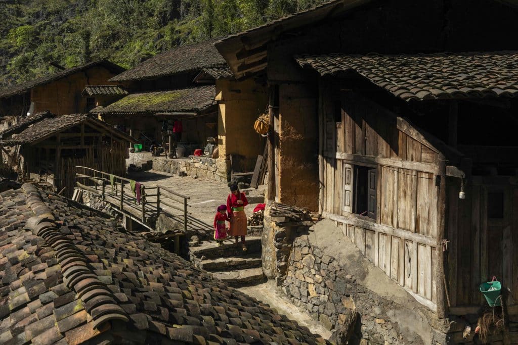
While the other rivers in Vietnam’s North flow northwest to southeast, the largest river in Lang Son province – the Ky Cung – runs from southeast to northwest, heading toward China to join the Bang Giang. Traveling over 240 km in Vietnam, the Ky Cung meanders around villages of ethnic Tay and Nung people, winding its way through flourishing valleys and gliding past the towns and cities of Lang Son.

Kien Giang River
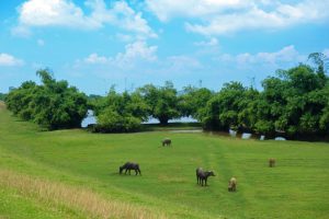
One of the two largest tributaries of the Nhat Le River in Quang Binh province, the Kien Giang River is over 60km-long, originating in the Truong Son Mountains and carrying alluvium to the deltas of Le Thuy and Quang Binh districts. At its end, the Kien Giang joins Hac Hai Lagoon to debouch into the Nhat Le River, making its way to the East Sea. Due to its northeasterly direction, the river is also known as the Nghich Ha (“the river that flows backwards”). When visiting the Kien Giang during the harvest season, tourists will find picturesque scenery of golden fields bordering the green river.

Dak Bla River
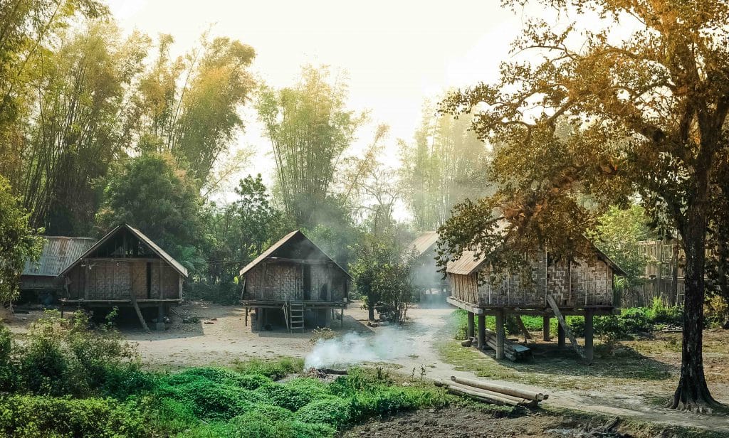
Flowing from east to west, the Dak Bla River in Kon Tum is the subject of various legends and myths told by the ethnic people living on its banks to explain its reverse-flow phenomenon. Beginning at the foot of Ngoc Linh Mountain, this 139km-long river starts where small creeks and tributaries meet and flows westward to empty into the Se San. Amongst the vast forests of the Central Highlands, the Dak Bla is a fresh, sacred stream with lush and peaceful banks. It has long been a source of inspiration for writers, artists, and photographers.


