
Story: Truong Quy
Photos: Tonkin, Amachau
Vietnam’s sea capes offer majestic scenery and historic significance
“My country is like a ship
There goes its prow – Ca Mau Point…”
This line from a poem by Xuan Dieu mentions an iconic landmass in Vietnam, where long coastlines and protruding points embraced by giant waves create impressive and majestic landscapes.

The country’s iconic sea capes evoke strong emotions in visitors, while safeguarding a vast area with three sides facing the sea. Travelers love these magnificent capes not only for their wild beauty, but also because they present a challenge.
Historic sea capes
Vietnam’s coastline stretches 3,260km, from Sa Vi Point (Tra Co, Quang Ninh) to Nai Point (Ha Tien, Kien Giang), creating an S shape that reminds many of a dragon. Vietnam’s long coast is the result of accretion from various deltas and mountain ranges that reach to the sea, especially the Truong Son Range in the Central region. These forested ranges extend toward the sea, splitting Vietnam into different geographic zones with distinctive climates. They also formed historic landmarks during the territorial formation of the country.

Among these historic sea capes is Doc Cape (Quang Binh), where the Hoanh Mountain Range extends all the way to the sea. This location formed a border for many ancient dynasties. For example, Dai Viet and Chiem Thanh were separated by a natural path crossing poetic Ngang Pass.
In reference to the cape’s important role as a border between the land of Lord Trinh (Dang Ngoai – also known as Tonkin or North of the River) and that of Lord Nguyen (Dang Trong – South of the River, also known as Cochinchina), in the 16th century, Trang Trinh Nguyen Binh Biem wrote: “Hoanh Son nhat dai, van dai dung than” (A horizontal mountain range can be a lifelong guard). The cape witnessed significant and turbulent historic events.
As Vietnamese culture spread southward, progress was marked by sea capes, partly because of the Central region’s geography, where narrow plains alternate between mountain ranges. Residential areas are separated by capes that protrude toward the sea, while the natural path along the country embraces the twisty coastline, forming magnificent ocean passes such as Phuoc Tuong, Hai Van, Cung Mong, and Ca. The breathtaking winding passes along the coast serve as landmarks where the sky meets the sea, such as Hai Van Pass – “the most imposing gateway” near the sea – the last point of the Bach Ma Range that runs from Truong Son toward the sea. Hai Van Pass forms a solid wall that blocks seasonal monsoon winds from Northern Asia. Thus, heading south from this pass, winter is less severe than in the North.
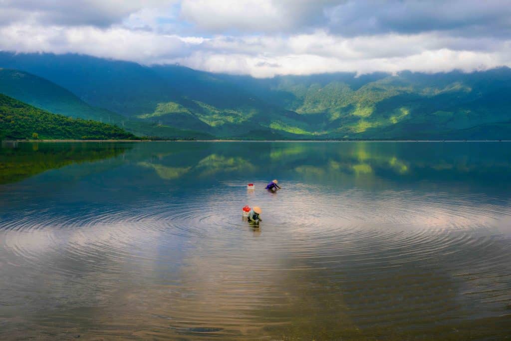
Facing the winds and waves at the country’s far ends, some capes have become landmarks of the nation’s borders. For example, Doi Cape on Gom Island (Khanh Hoa) is acknowledged as the country’s easternmost point, while Ca Mau Cape (Ca Mau) is the southernmost point. Each year, Mekong Delta silt continues to accumulate here and extend Ca Mau Cape further into the sea.

Panoramic sea views
Those who visit these capes fall in love with their wild beauty. They were once dangerous destinations where few dared to venture. The appeal might seem strange but those who managed to reach them felt they’d overcome a big challenge. Their reward was to stand on the furthest rocks, overwhelmed by a seemingly infinite space where the sky meets the sea.
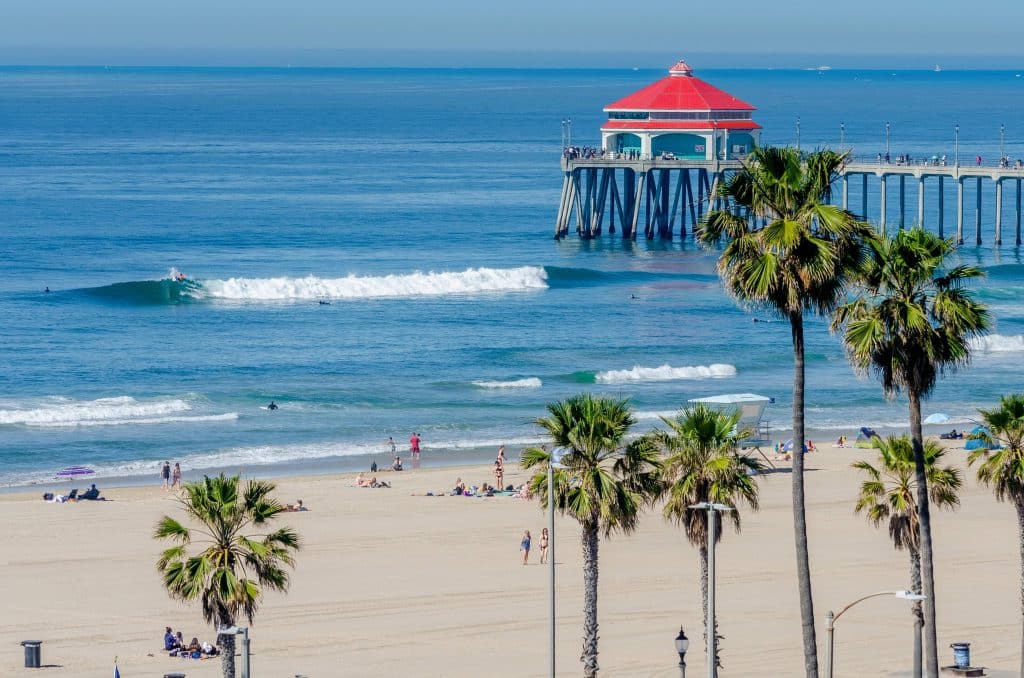
Thanks to their beauty, the capes overlooking the Eastern Sea have become famous tourism highlights in Central Vietnam. Each of these places has their own features. Tourists visiting My Khe and Son Tra beaches (Danang) can explore the old-growth forests of the Son Tra Peninsula and Nghe Cape, accessible only through the forest. Mui Ne Cape (Binh Thuan), once named “the capital of resorts” in Vietnam, lies parallel to Ke Ga Cape in the South, forming the gateway to Phan Thiet Bay, one of the busiest tourism destinations on the South Central coast.
Sea capes are ideal spots for lighthouses. Thus, Vietnam’s most famous lighthouses stand on capes at the end of mountain ranges, such as Ganh Den Lighthouse near Da Dia Reef (Phu Yen); Vung Tau Lighthouse (known as Cape St. Jacques in French colonial times, or O Cap Cape); and the lighthouses on Dai Lanh Cape (also called Dien Cape, Phu Yen); Dinh Cape (Ninh Thuan); and Ke Ga Cape (Binh Thuan).
Together, they form colossal, lavish landscapes that remind us how humans have overcome nature. They light up the night sky to lead ships back to shore.
As tourist sites and historic landmarks, these capes are perfect spots for seaside holidays. Along with long sandy beaches intertwined with lagoons, bays, and islets, these capes are like arms reaching toward the sea. They protect the rough windy headlands and make us grateful for our country’s natural wonders.


