
Story: Nam Hoa
Photos: Minh Tuu
Vietnam’s rivers are more than waterways – they are the enduring sculptors of the nation’s landscape and identity.
Through the airplane window, as mountains and bodies of water merge into a single panorama, rivers appear like the strokes of a master sculptor. From the deep mountain gorges of the nation’s northern frontier to the maze of canals and waterways in the Mekong Delta, water and alluvium have quietly helped shape both the landscape and the soul of the country.
Carving paths from the high peaks
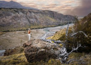
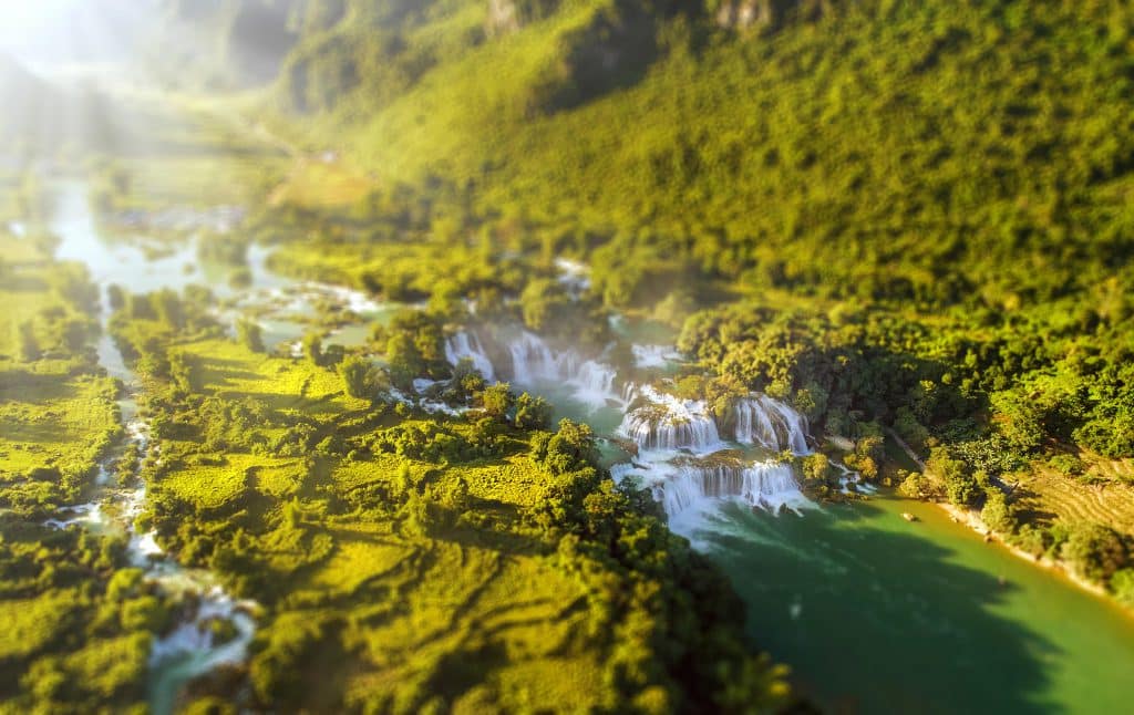
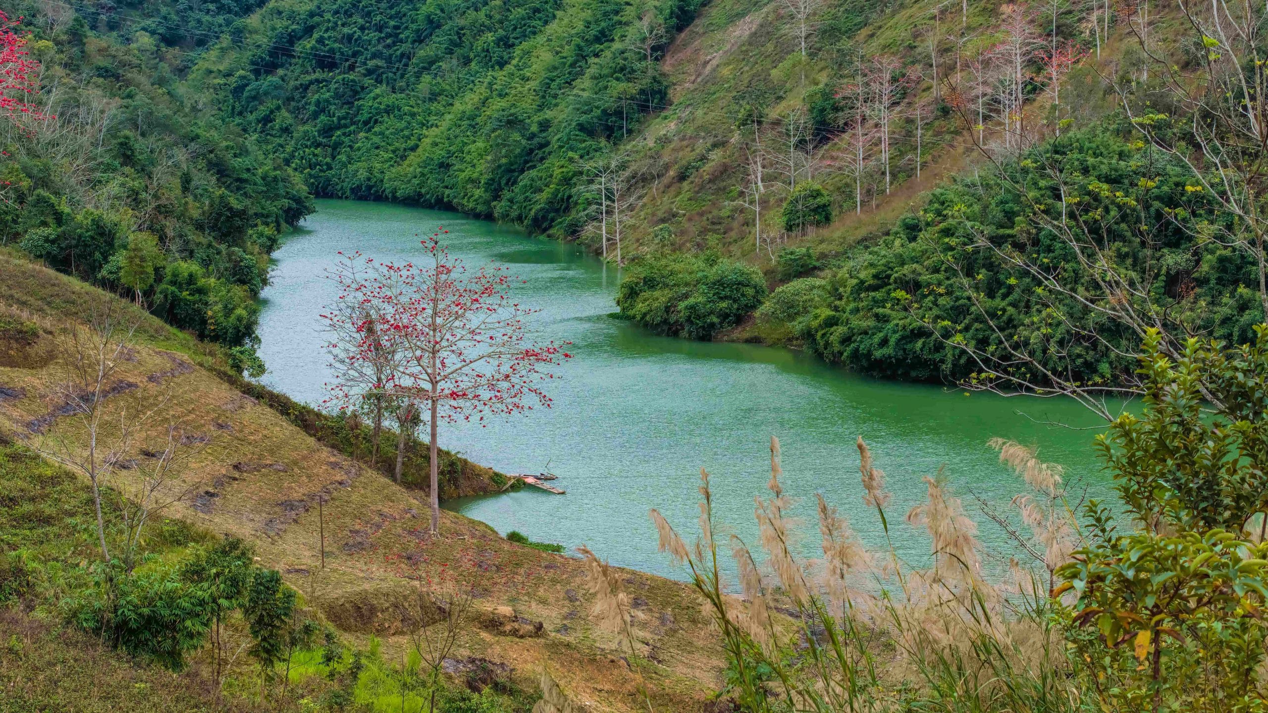
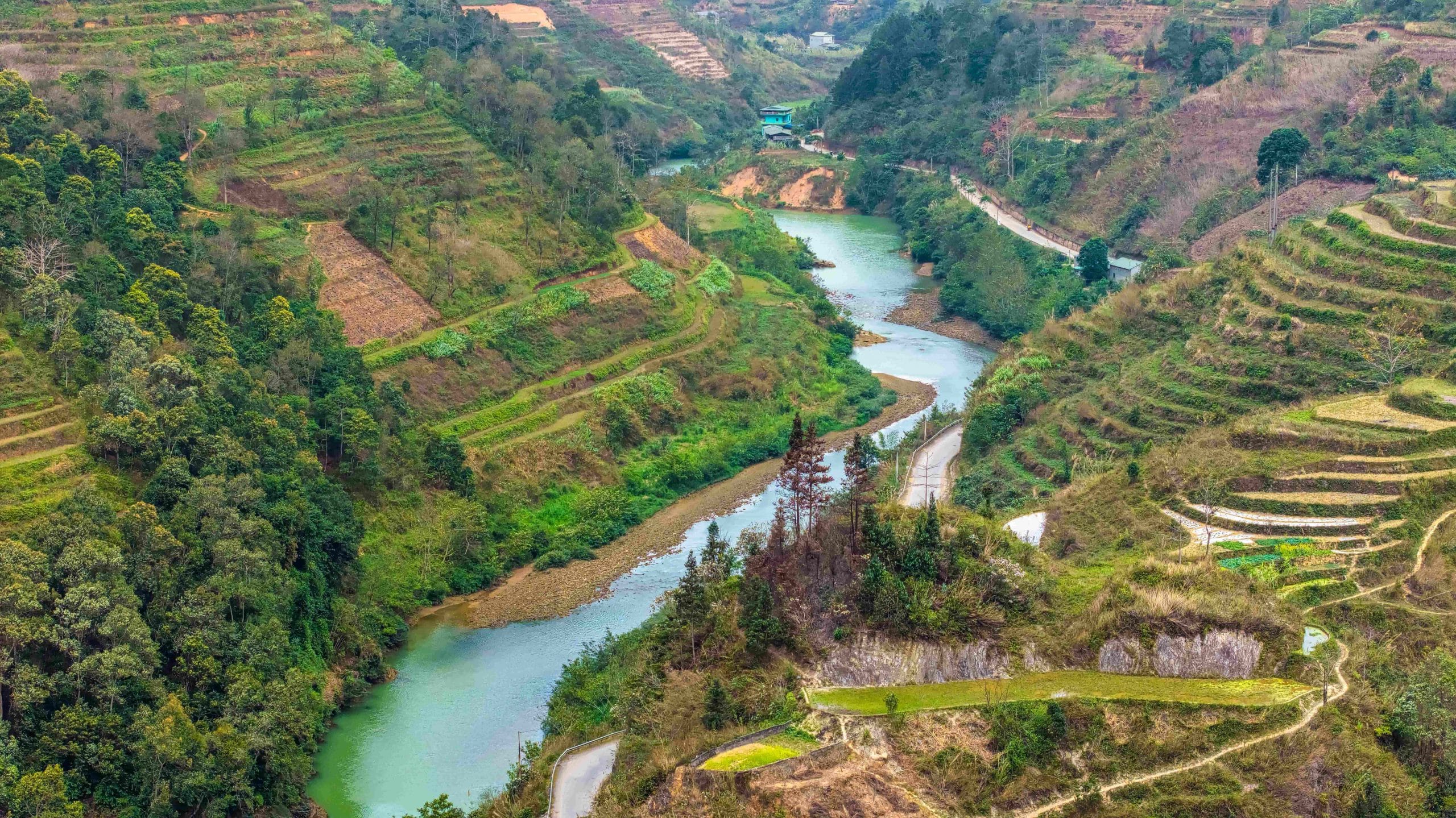
In the northern headwaters, rivers crash over rocky rapids, forcing their waters through mountain crevices to carve dizzyingly deep canyons, such as Tu San Canyon on the Nho Que River. The Lo, Da, and Gam rivers also weave through numerous gorges. In the Central region, the Thu Bon River flows through Hon Kem Da Dung, while the Con and Ba rivers wind along mountain slopes and valleys, leaving their mark on the Truong Son Range before descending to the plains.
The natural contours of these ravines are relentlessly shaped by water, creating graceful yet majestic engravings in the landscape. Seen from afar, the river appears as a bold stroke, carving its way across the colossal bas-relief of the mountains.
Every gorge, every slab of rock bears the imprint of water. Each bend, each deep canyon is the result of thousands of invisible chisels, sculpting valleys and winding rocky ravines that are as perilous as they are magnificent. The upstream stretches of rivers in the North and Central regions still retain their silent power, like a master artisan quietly carving the earth and sky.
The river does not merely carve a path through the mountains, but also paves the way for life, carrying water and silt downstream. In the places where nature’s trials are most severe, the currents begin to sculpt the nation’s shape. Those strokes, invisible yet undeniable, set in motion a journey that brings the river down to the fertile plains, completing the portrait of the country from the high peaks to the vast sea.
Engraved by alluvium
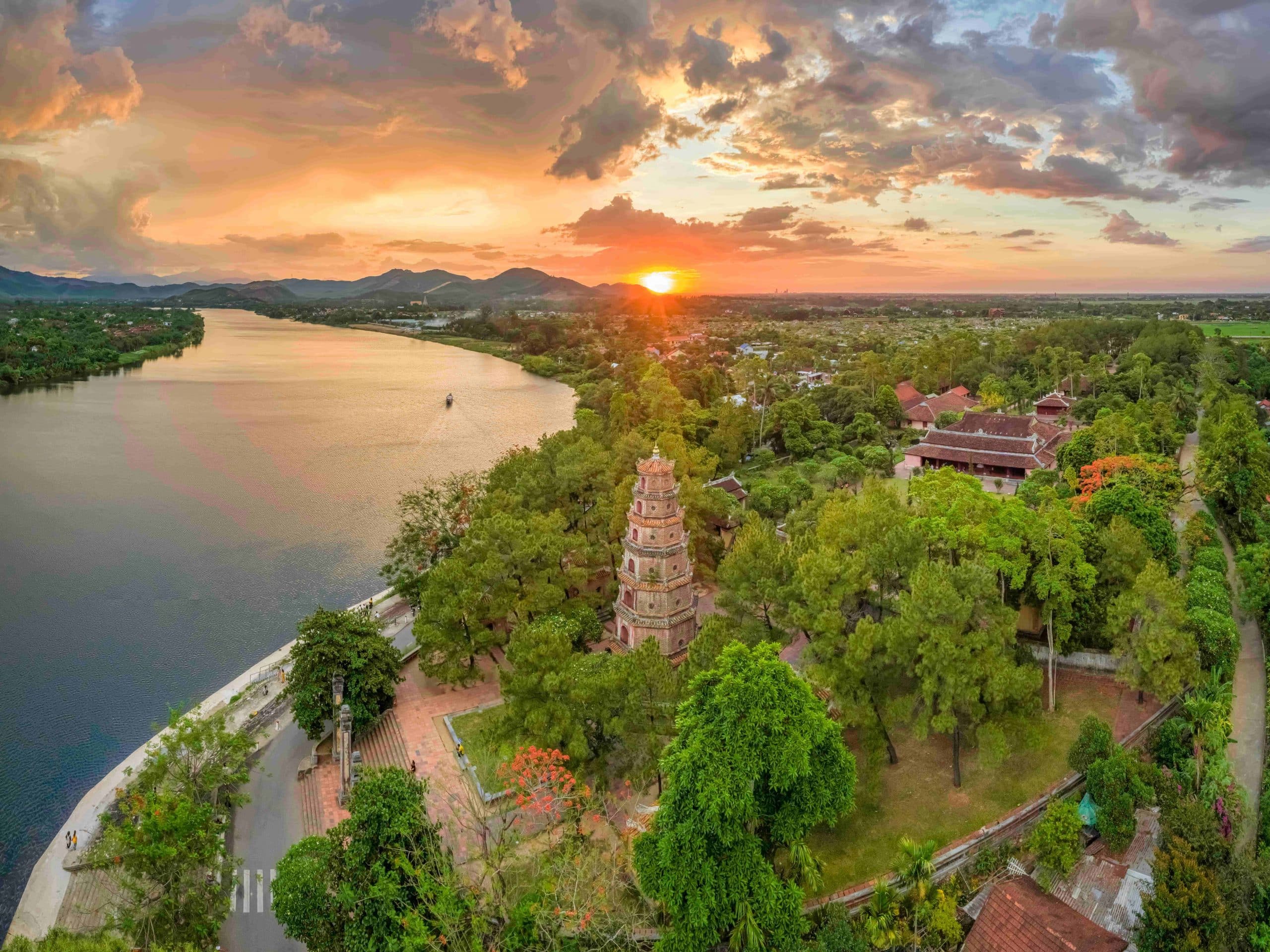
Beyond the mountainous regions, the rivers no longer hurl themselves through rocky chasms but instead broaden across vast plains. The Hong and Thai Binh rivers spread across the Northern Delta; the Huong River gently flows through the narrow Central region; and the Dong Nai River meanders across the Southeast.
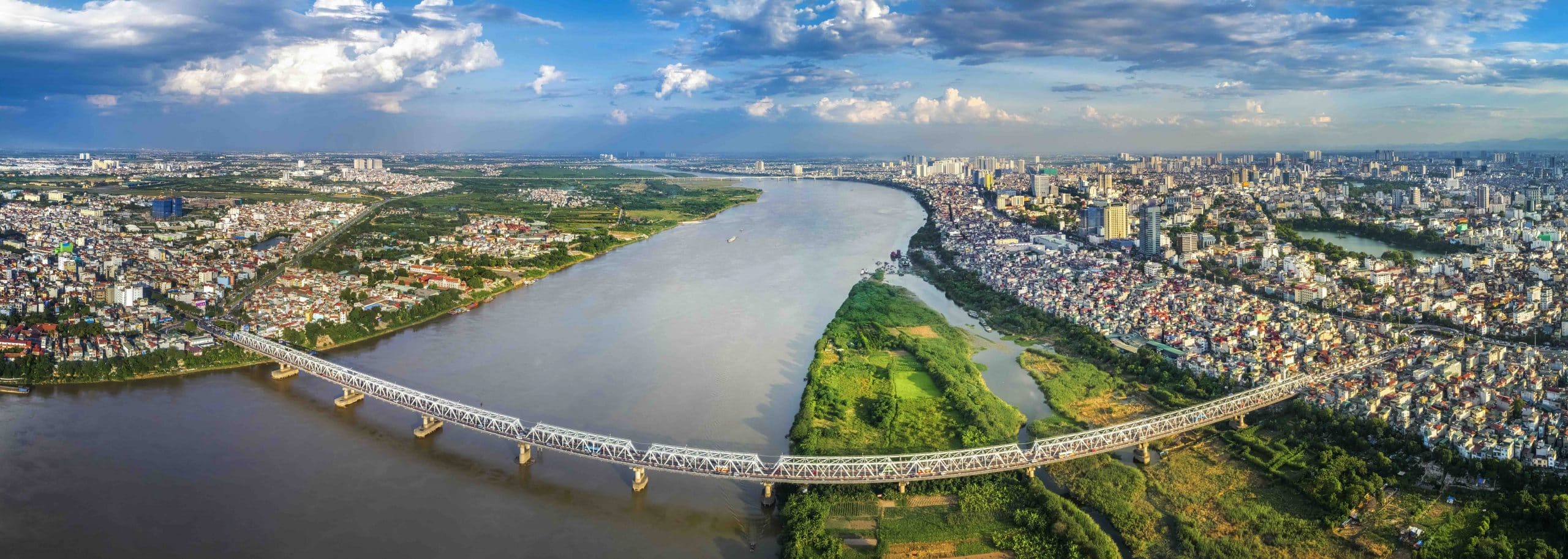
The meandering bends in the river gently engrave the plains, sometimes constricting into horseshoe curves, sometimes expanding into alluvial strips washed in alternating hues of brown, yellow, and green. Stripped of the ferocity of the headwaters, the current patiently deposits sediment, quietly forging the lush green fields, mudflats, and villages along both banks.
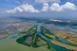
The alluvium travels with the current, settling with every flood season and at every bend. With each turn, the river enriches the land, gradually expanding the plains. Gazing from an airplane window, one can clearly see strips of newly formed land, interwoven patches of fields and gardens, and waterways that branch apart only to meet again, forming an ever-evolving network.
Against this backdrop of rivers and waterways, the human imprint can be seen in the bridges spanning the water – skillful touches laid upon the alluvial landscape. From the historic silhouettes of Long Bien and Trang Tien bridges to modern spans crossing the rivers, each structure is like a line drawn across the relief of the delta. If alluvium is the quiet force that gives rise to life, then bridges are where people leave their mark, adding another layer to the beauty of the rivers.
The bas-relief of the Nine Dragons
Upon reaching the Mekong Delta, water from the two branches of the Tien and Hau rivers spreads into countless canals and waterways, weaving through rice fields, orchards, and villages. Viewed from above, the entire Cuu Long River Delta unfolds like a vast relief, where currents divide and converge, forming three-way and seven-way junctions like intricate knots in a flowing network.
The branching waters spread, gradually seeping into the soil until the boundary between river and plain becomes so soft that the two seem to melt into one another. Alluvium continues to be deposited, quietly expanding the land with every flood season. Interwoven fields, canals, and villages create intricate engravings across this landscape of water and earth.
Bridges spanning the many branches of the river – from Rach Mieu and My Thuan to Can Tho – appear like soaring musical notes on a staff of water, linking the two banks and giving voice to the vibrant melody of the Mekong Delta. Together, they form a landscape that is both supple and strong, where the rivers continue to patiently build and shape the delta with every season.
At the end of its journey, the river gradually merges with the sea, blurring the boundary between freshwater and saltwater, between the river’s current and the ocean. Layers of alluvium continue to settle, like the ceaseless strokes of a sculptor’s chisel, extending the work of shaping the nation all the way to the sea.
Looking down at the expansive delta, one can see that this entire journey forms a vibrant living sculpture. This masterpiece continues to evolve with the rhythm of the water – sometimes accumulating, sometimes spreading – as the nation’s contours continue to be shaped by its own currents.