Chu Việt Bắc

In the minds of many, Muong Te (Lai Chau Province) is a remote and secluded place, difficult to reach. The 200-kilometer journey from the centre of Lai Chau Province winds along mountainsides, while the Da River, at times hidden and at times revealed, quietly follows the road. Majestic yet poetic, the mountains and river weave together to form a mystical landscape, highlighting the unique beauty of this borderland.

The water wheels of Na Khuong

Reaching the center of Muong Te Commune, one might think the upstream journey along the Da River has come to an end. Yet, to arrive at the source of the Da River in Thu Lum Commune, we must travel close to another 100 kilometers. The confluence at the river junction is also the point where the magnificent Da River enters Vietnamese territory. An entire sacred expanse of land and sky unfolds before our eyes. This area holds particular importance in terms of national security and defense, with border guards stationed at outposts and checkpoints maintaining round-the-clock vigilance. The Ka Lang Border Guard Station oversees nearly 30 kilometers of the border, marked by four border markers: 18(2), 34, 35, and 36. Notably, Marker 18 is divided into three separate positions. Marker 18(1) lies on the riverbank on the Chinese side, precisely where the Da River meets Nam La Stream. Marker 18(2) falls under the jurisdiction of the Keng Mo Border Control Post, while Marker 18(3) is managed by the Mu Ca Border Guard Station. At Marker 18(2), one side is Mu Ca Commune, where the Da River flows quietly, and the other is the Nam La River descending from China. These two currents, one clear, one muddy, blend at the confluence, forming a natural watershed boundary and marking the precise spot where the Da River officially enters Vietnamese territory.

Tham Luong Cave

The ethnic groups that share the Da River Basin have distinct cultural identities, with their own history, way of life, and cultivation practices. While Thai people tend to settle in flat valleys, the Dao reside on high mountain slopes. Deep within the old forests are the homes of Ha Nhi people, an ethnic group mainly found in this region. The Ha Nhi have preserved some of the oldest cultural traditions, including their own Lunar New Year, the Rainy Season Festival, sacred forest worship rituals, and their striking traditional dress.

To serve the nation’s economic development, the Da River was gradually transformed into hydroelectric reservoirs. No longer the fierce river that “laid stone traps on the water” or seemed ready to “swallow” boats -as famously described by writer Nguyen Tuan in his essay “The Ferryman of the Da River”, this river has become gentler, more graceful, and embracing, flowing calmly through peaceful mountain villages.

A group of Dao Do women in Lai Chau

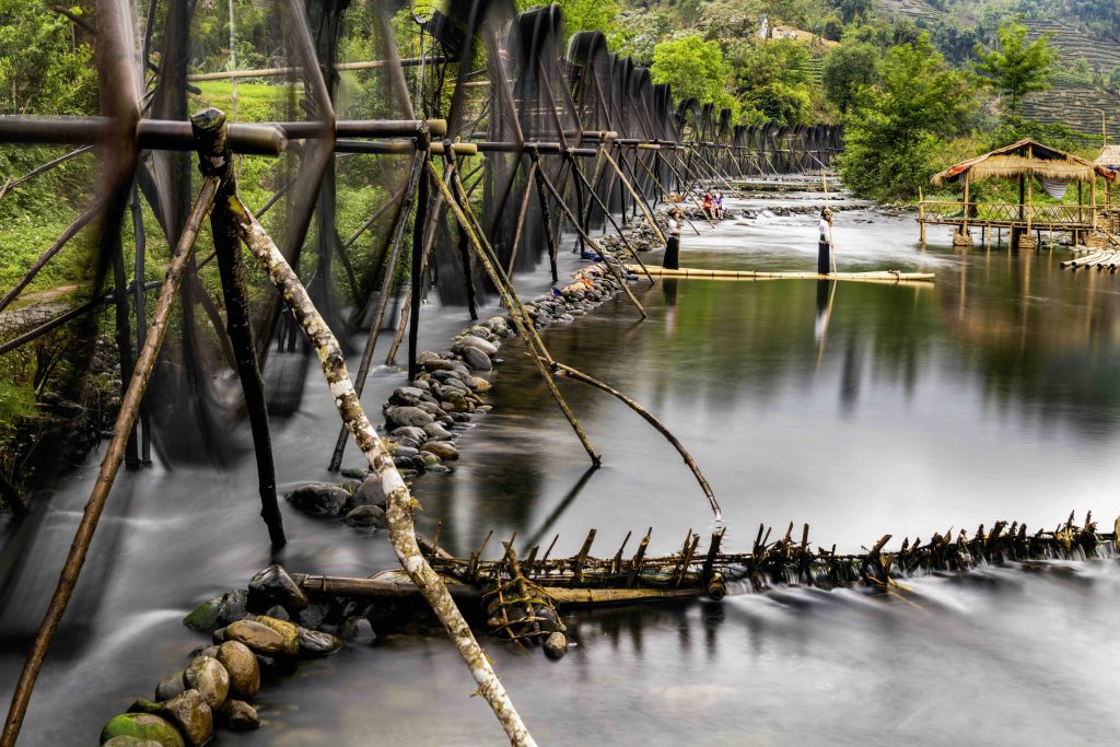
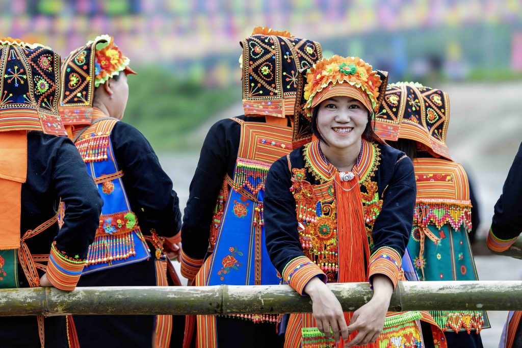
On the journey to the Da River’s headwaters, travelers may pause at some of Lai Chau Province’s most captivating destinations, such as Nam Luc Waterfall, Tac Tinh Waterfall, Reu Waterfall, or the Na Khuong waterwheels. When visiting ethnic minority villages, travelers will also be enchanted by the local cuisine, featuring delicacies such as thang co (a traditional meat stew), fermented stream fish (lap ca suoi), and canh bon, a soup made from wild bon leaves, commonly found in the area, along with other forest vegetables, offering naturally sweet, refreshing flavors rich in nutrients.

The point where the Da River begins its journey into Vietnam is not merely a geographic borderland, but a spiritual and cultural wellspring where the sacred soul of Vietnam’s mountains and rivers begins to flow.