Vinh Dav
When speaking of Vietnam’s far north, people typically envision endless and majestic cat-ear-shaped limestone mountains, where barren earth and rocky soil outweigh fertile land. Yet nestled in the heart of this arid, grey plateau lies a soft green ribbon that stretches for kilometers. Like a gentle gift from nature, it balances the rugged harshness of this stark landscape. More than just an ordinary river, the Nho Que has long been a symbol of vitality and an alluring destination for travelers.

While the Mien River in northern Tuyen Quang serves as a tributary of the Lo River to the west, the Nho Que is a tributary of the Gam River, which flows southward to join the Lo River’s eastern branch. These two branches of the Lo River form a V-shape and converge in Xuan Van Commune, Tuyen Quang Province. From there, the river grows larger, flowing deeper southward to merge with the Red River.
One could call the Nho Que the “northernmost river” of Vietnam, as it begins its journey into Vietnamese territory in Lung Cu Commune, just a few hundred meters from Border Marker 426 and 428. From there, the river flows northward along the boundary between Vietnam and China, skirting the ancient village of Thien Huong. In this way, the river serves as a natural line demarcating the frontier between the two countries.

The Nho Que River carries a distinct jade-green hue. Clear and serene, it forms a striking contrast with the majestic, perilous limestone cliffs that have stood for millions of years. Unlike the rushing larger rivers downstream, the Nho Que meanders gently, weaving its way through rugged mountain ranges to shape the stone plateau’s truly unique landscape. The river’s beauty is best admired from its closest point to National Route 4C, an ideal vantage with favorable topography on Ma Pi Leng Pass, one of Vietnam’s “four great mountain passes.” On one side, the river coils gracefully at the foot of colossal peaks, plunging 700 to 900 meters deep into Tu San Gorge; on the other, sheer cliffs rise like a towering fortress carved by time, majestic and enduring through hundreds of millions of years.

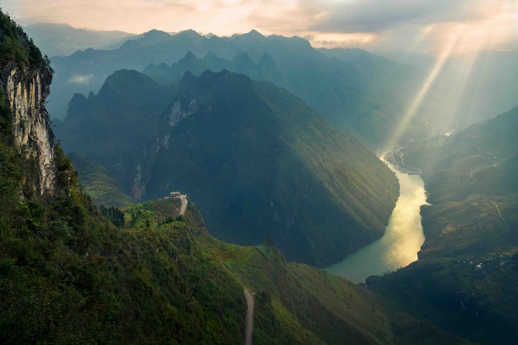
To fully appreciate the splendor of the Nho Que River, a boat cruise along its emerald waters is an unforgettable experience. As the boat glides gently over the glassy surface, travelers gaze up at towering cliffs and the crystal-clear sky, feeling dwarfed by the grandeur of nature. From this perspective, the legendary Happiness Road appears, clinging precariously to the mountainside. Carved by the sweat and sacrifice of tens of thousands of young volunteers, this road stands as a powerful testament to unyielding determination, serving as a reminder for future generations to honor the toil and devotion of their ancestors.
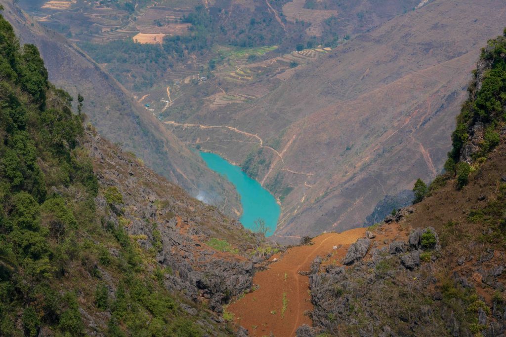
In the summer, rains from the headwaters raise the water level, tinting the river in earthy brown or pale green hues. As autumn fades into early winter, the river returns to its signature jade color, clear, full, and luminous, before gradually dwindling in the spring. The scenery along both banks also transforms with the seasons: spring bursts with the vibrant pinks of peach and plum blossoms; early summer glows with the fiery red of kapok flowers; late autumn dazzles with pristine fields of white buckwheat blooms; and winter lies shrouded in soft white clouds swirling around the mountain peaks.
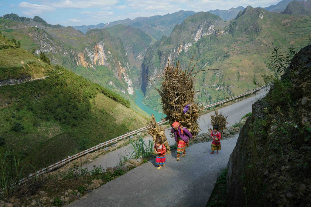
More than a destination on the tourist map, the Nho Que River is the soul and pride of Vietnam’s Northeast. It is a majestic symphony of stone and water, a symbol of life’s resilience on this harsh plateau, and a living witness to historical memories. Nestled within the sacred mountains and forests of our beloved homeland, this green ribbon will forever remain the region’s verdant heart.