Steeped in legend, Ba Den Mountain is an important spiritual destination. Midway up its slope rests the sacred Ba Den Pagoda (Linh Son Tien Thach Tu), which is centuries-old. At the summit lies a complex of spiritual monuments, including the colossal Tay Bo Da Son Bodhisattva statue—standing 72 meters tall and cast from more than 170 tons of bronze. Nearby is the Maitreya Bodhisattva statue, composed of 6,688 pieces of natural sandstone, crafted to resemble cascading terraced fields. Surrounding and beneath these sacred statues is a sea of vibrant green foliage, enveloping the mountaintop in nature’s embrace. At the foot of the mountain lies a custard apple orchard, where dozens of hectares are cultivated by local farmers, producing fruit celebrated for its exceptional fragrance and flavor.
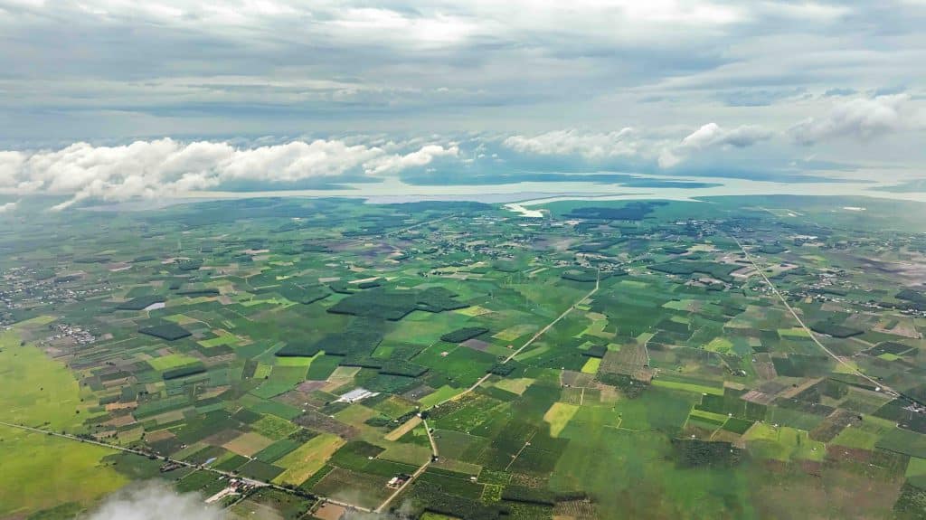
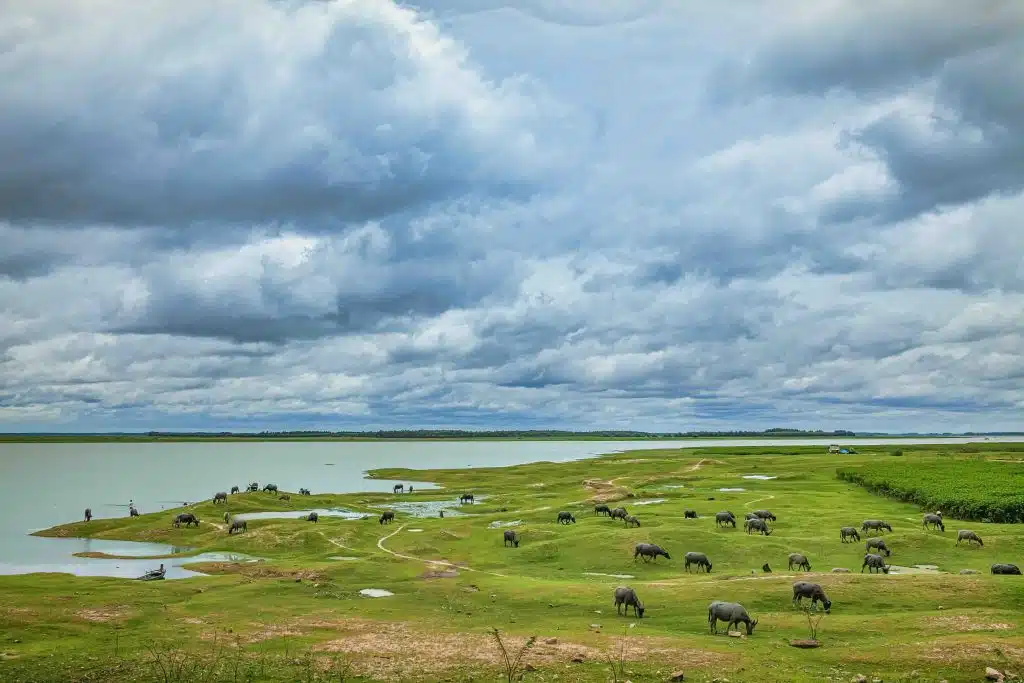
Some days, a sea of clouds drapes over the mountaintop, shrouding the structures in a mystical haze. As the mist begins to lift, a breathtaking panorama gradually comes into view. Below, the landscape resembles a vast chessboard: squares of lush green trees, freshly tilled brown earth, and the shimmering violet of solar panels arranged in a seemingly random yet poetic pattern. From the summit, gazing eastward in the same direction as the Maitreya Bodhisattva, one can see beyond the vast “chessboard” landscape to the shimmering expanse of Dau Tieng Lake. The largest manmade lake in Vietnam and Southeast Asia, Dau Tieng Lake supplies irrigation water to Tay Ninh and neighboring provinces, provides freshwater fish for local communities, and serves as a popular eco-tourism destination for nature lovers.
The lake’s surface mirrors drifting clouds and the towering presence of nearby Ba Den Mountain, creating a serene and romantic scene unique to Tay Ninh:
Where green peaks reflect upon emerald water.
One fine morning, a gentle cloud came to visit.