Story: Ngo Quang Minh
Photos: Tonkin

With its strategic and promising landscape, Cape Ca Mau has long been the tourism hub of Ca Mau province. Its ecological highlight is the Ca Mau Cape National Park, often called the region’s green lung. Located in Ngoc Hien District, the park spans over 41,000 hectares in Dat Mui, Vien An, and Dat Moi communes. It is renowned for its unique mangrove forest ecosystem, the only one of its kind in the Southwestern region of Vietnam. Here, land and sea converge where the eastern and western seas meet.

Sails Cape Ca Mau

The flora at Cape Ca Mau includes over 30 species of mangrove trees, including Sonneratia and Rhizophora. These trees shape the distinctive landscape and play a vital role in protecting the coastline from erosion. The fauna is equally diverse, with over 90 species of birds, 26 species of mammals, more than 40 species of reptiles, and nearly 140 species of fish. Notable wildlife includes migratory birds like white storks and herons, as well as endangered species such as sea turtles, silvered langurs (Trachypithecus cristatus), long-tailed macaques (Macaca fascicularis), and Siamese crocodiles (Crocodylus siamensis), all listed in the Red Book. This rich biodiversity has earned Ca Mau Cape National Park its status as a national nature reserve and UNESCO recognition as a World Biosphere Reserve in 2009.

With its distinctive shape like a ship’s bow heading off to sea, Cape Ca Mau offers a unique experience for visitors as they stand on the wave-breaking embankment that surrounds the mangrove forest and inner land. From this ideal vantage point, one can enjoy a poetic sunrise to the east and a romantic sunset to the west.

A marker at the end of the Ho Chi Minh Trai

The area also features the Cape Ca Mau Cultural Park, which spans 150 hectares. Key sites include a panorama of a ship sailing out to sea, the National Coordinate Landmark GPS 0001, Lac Long Quan Temple with a statue of Mother Au Co, and the mainland endpoint of the Ho Chi Minh Trail (Km2436), which runs from  Pac Bo Cave in Cao Bang to Cape Ca Mau.

Visitors also enjoy the Hanoi Flagpole structure. Designed to resemble the capital’s flagpole, this was a precious gift from Hanoi to the people of Ca Mau. With a total area of over 16,000 square meters and a height of over 45 meters, this structure is solidly built to withstand natural erosion and sea storms. From the top, tourists can enjoy panoramic views of the Ca Mau mangrove forest and the Hon Khoai islands on the vast East Sea. With beautiful architecture and artistic value, the Cape Flagpole firmly asserts national sovereignty and territorial integrity, further strengthening the bonds between different regions of the country.

A replica of the Hanoi Flag Tower

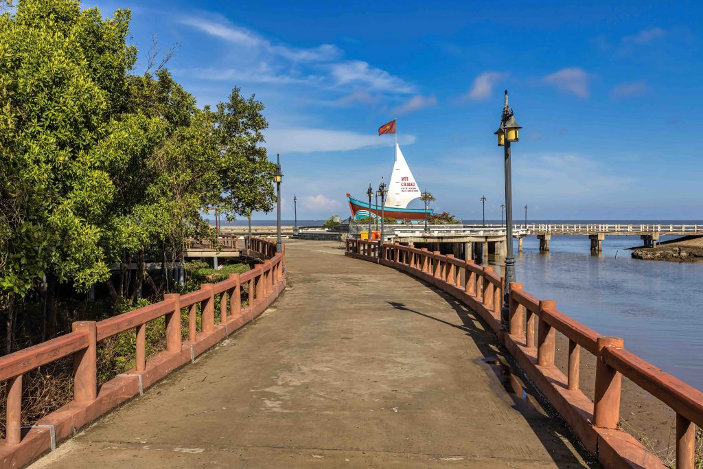
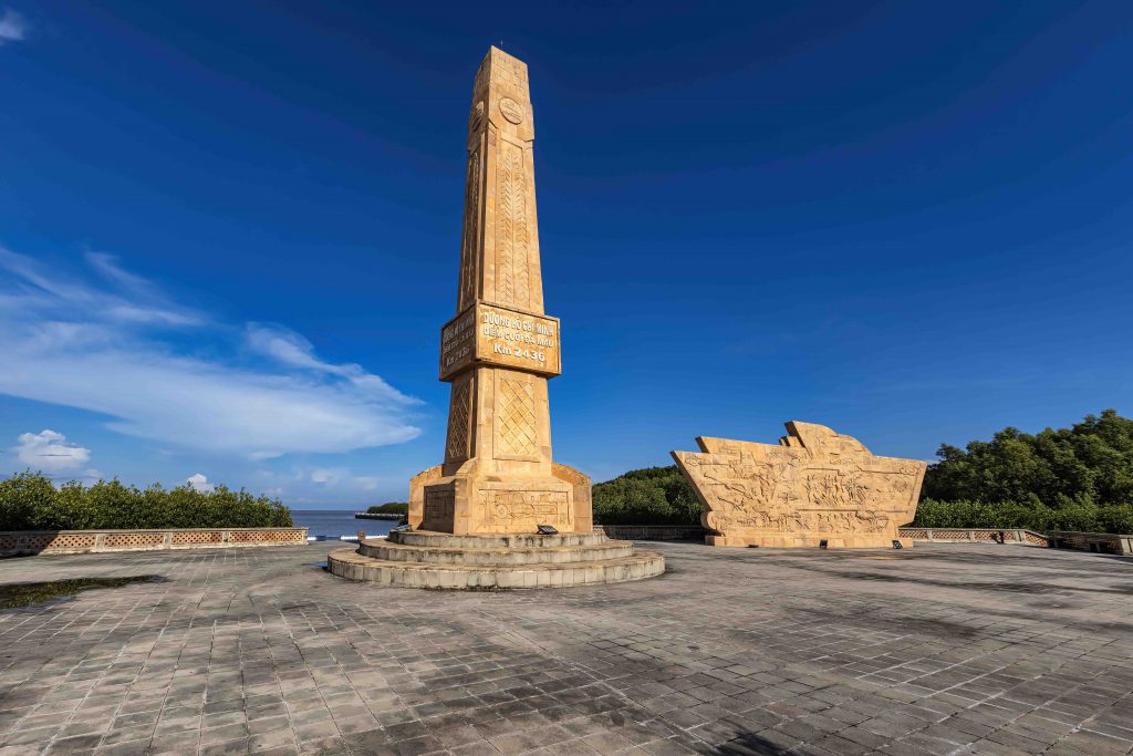
Formed over centuries by alluvial deposits that steadily extended it further into the sea, Ca Mau National Park was officially designated a nature reserve in 2003. The park holds immense historical value and is a treasured symbol of Vietnam’s unique southern landscape and culture. It is a natural museum of land and water, where golden forests meet silver seas, and stands as a heritage site worth preserving for future generations.

Ca Mau Cape National Park includes some 15,000 hectares of the mainland and nearly 27,000 hectares of adjoining coastal area. The park is divided into four main zones: a strictly protected zone (over 12,000 hectares), an ecological restoration zone (over 2,800 hectares), an administrative service zone (200 hectares), and a marine conservation zone.